Lake Superior Provincial Park
Hugging the eastern shores of world’s largest fresh water lake, Lake Superior, lays the stunning Lake Superior Provincial Park. With lakes, rivers, beaches, waterfalls, forests, rolling hills, and cliffs, Lake Superior Provincial Park offers picturesque and diversified scenery that will not cease to amaze you.
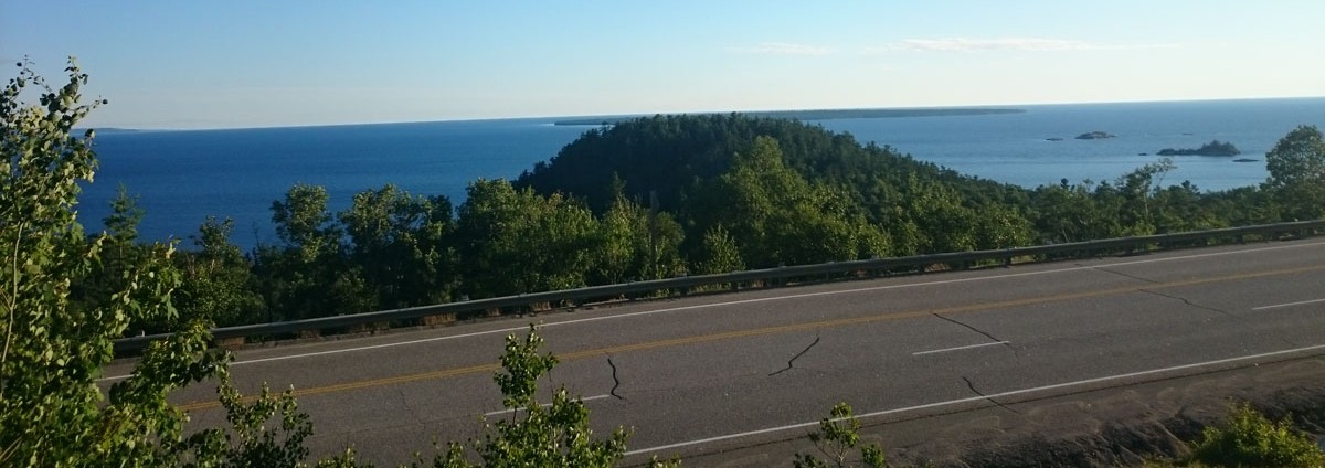
This was my first ever camping trip in Ontario, and I have to say, it was probably one of the best ones ever. My husband and I camped for two nights only, but I would highly recommend camping for longer (atleast 4-5 nights) to make the most of everything the park has to offer.
There are two campgrounds (car camping), Rabbit Blanket Lake Campground, and Agawa Bay Campground. Rabbit Blanket is a smaller campground with an inland lake and beach. We chose to camp at Agawa Bay instead as that is right on the shore of Lake Superior.
Driving from Richmond Hill, it took us about eleven hours to reach the park (we took a few pit stops along the way). We left early morning around 5 am and reached the park by 4 pm. This gave us plenty of time to setup tent and then go around the park a little. After enjoying a nice barbeque on the lake and catching a beautiful sunset, it was time to call it a night.

Next morning, once we had our breakfast, we were all set to hit the trails! Due to time constraint, I had already narrowed down my list to shorter trails as I wanted to see different areas of the park.
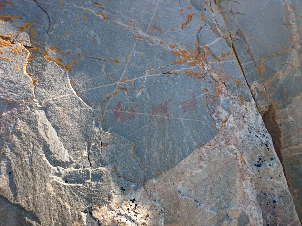
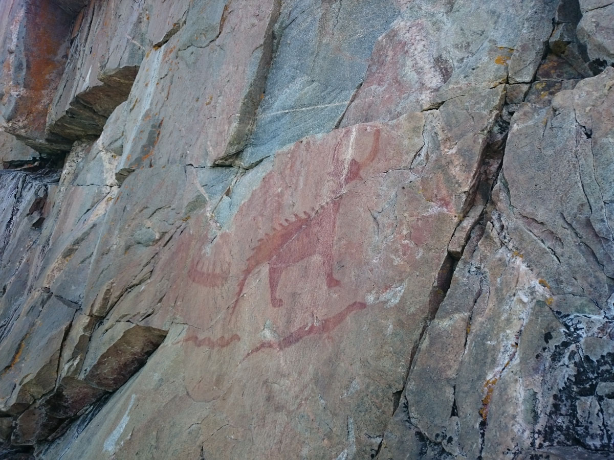
1) Agawa Rock Pictographs trail
This was our first stop as we wanted to beat the crowd. It is a moderate, approximately 1 km roundtrip trail. The blood red images on almost 7 meters high rocks are mind boggling. This centuries old pictographs are a must see when at Lake Superior Provincial Park.
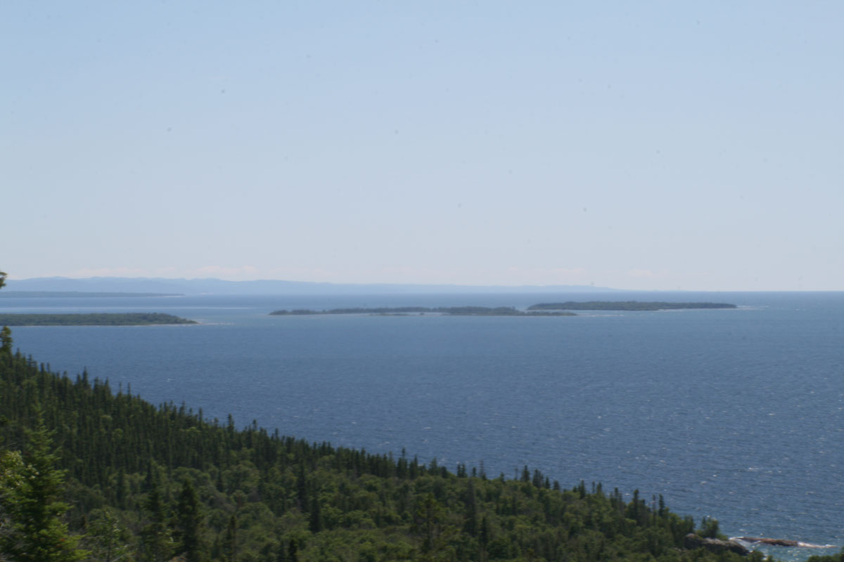
2) Sinclair Cove Bluff:
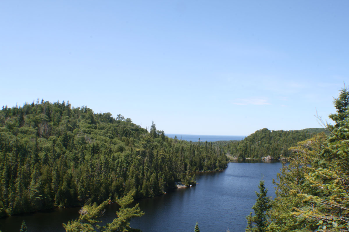
This was a steep climb to the top on the bluff, about 20 minutes. It was crowded, so it was a slow hike. But once at the bluff, it offers some breathtaking views of Lake Superior.
3) Sand River Trail:
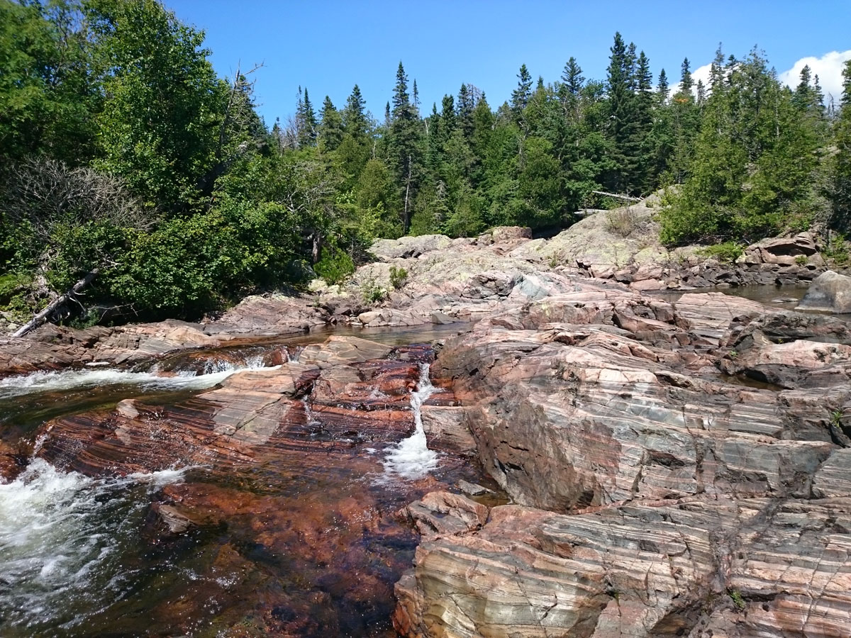
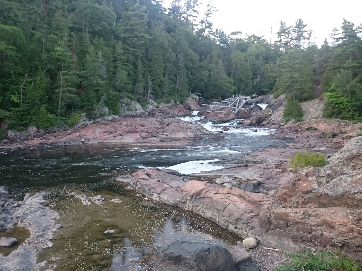
This is a 3.5 km trail (one way). It is actually called the Pinguisibi Trail but most people know it as Sand River trail. This trail takes you along the Sand River past a series of cascading waterfalls. The trail is steep in some places and has wet areas that can be slippery but it is a wonderful hike nonetheless.
After Sand River Trail, we drove through the park stopping along the way to take in the sights. We stopped at Old Woman Bay for a bit, before heading to the South Old Woman River Trail.
4) South Old Woman River Trail:
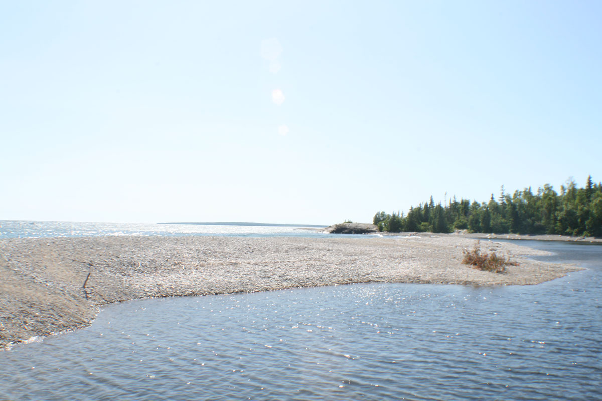
This is about a 2.6 km fairly easy trail. Surprisingly, it is not a very popular trail and there was literally no one hiking this one. It was really quiet and serene having the whole trail to ourselves. From here, we returned to our campsite, had lunch and then started the coastal hike till sunset.
5) Coastal:
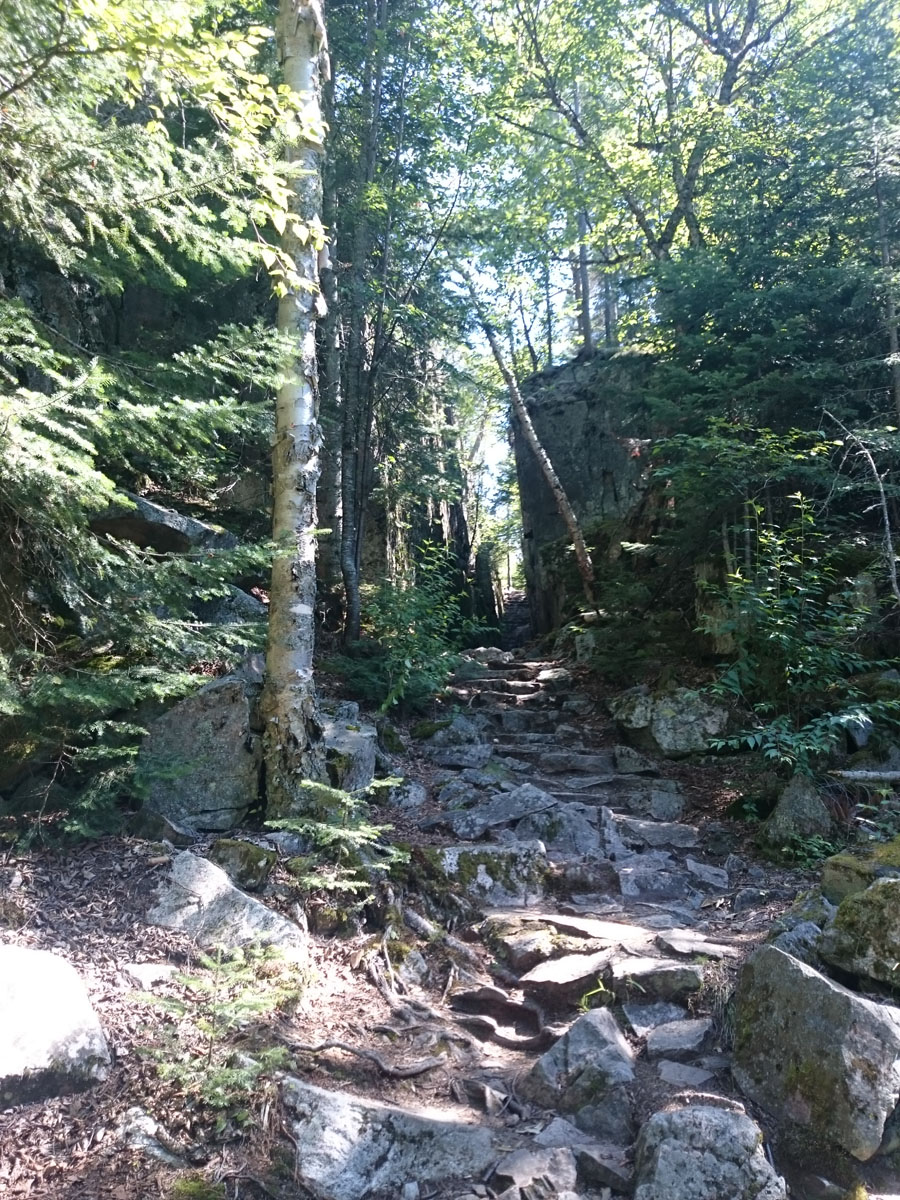
This is a 65 km trail (5-7 days!), of course, due to our short trip, we only hiked a few kilometers in the afternoon, after returning from our other hikes.
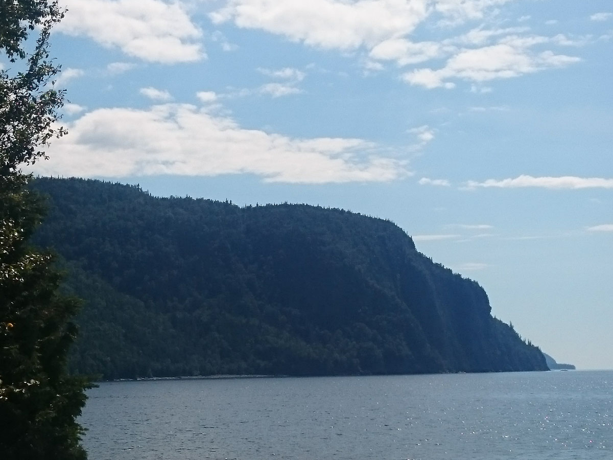
Next morning, after breakfast, we packed up to head back home. On the way back, we stopped at Chippewa Falls. We hiked along the rock tops for a bit and found a nice spot to just sit and take in the views and the sound of the rushing water!
This was one of my most memorable camping trips ever. I cannot wait to go back and spend a lot more time exploring this amazing park. If you are planning a drive-up camping trip, be sure to check out my post on Gearing up for Camping. More picures of Lake Superior here. Also, for Lake Superior Provincial Park, please see some tips below.
TIPS:
- Highly recommend to camp at least 4 nights minimum to truly explore the beauty of this park.
- Temperature can drop suddenly, so make sure you are prepared. I went in July and it dropped down to 10 C at night. My husband has been before and it has dropped to 2 C even.
- Make sure to drive during the day as once you go past Sault Ste Marie, the drive along the coast on HWY 17 is beautiful.